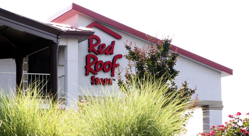
Red Roof Inn Bowling Green
- Red Roof Inn Bowling Green
Red Roof Inn Bowling Green (Bowling Green,США)
     |
| Категория отеля: | 2-звездочный отель |
| Адрес: | 3140 Scottsville Road, Bowling Green, KY 42104, США |
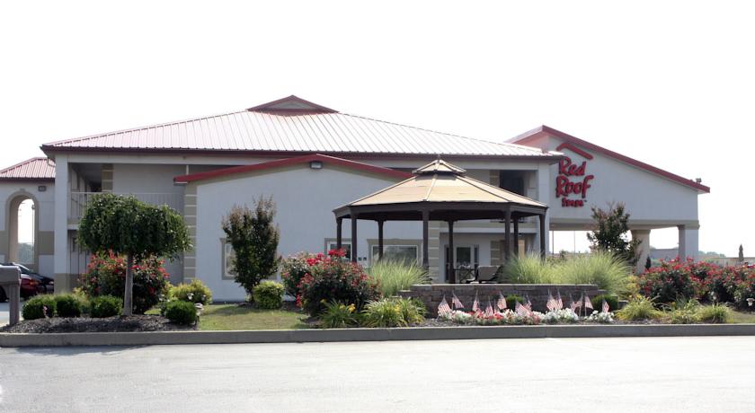
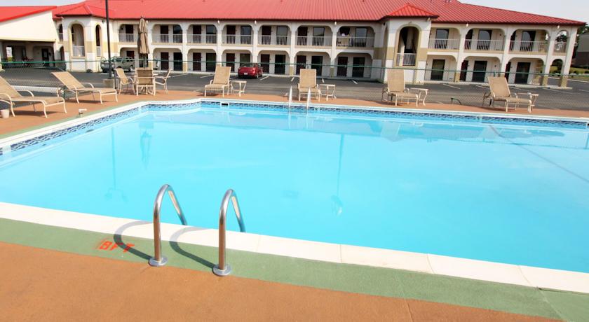
| Описание: | Located within 1 mile of Interstate 65, this Red Roof motel in Bowling Green, Kentucky is with 7 miles of Western Kentucky University and Beech Bend Park. The hotel serves a continental breakfast each morning and offers free Wi-Fi.The rooms at the Red Roof Inn Bowling Green include a cable TV, microwave and refrigerator. Free toiletries are also available in the en suite bathroom.Guests staying at the Bowling Green Red Roof Inn can get assistance anytime at the 24-hour reception or swim in the outdoor pool. Laundry services are also on-site.The Historic Railpark and Train Museum is 9 minutes drive. Shopping at the Greenwood Mall is 11 minutes walk away. |
| Еда и питье: | |
| На свежем воздухе: | Открытый бассейн (работает по сезонам) |
| Парковка: | Бесплатно! Бесплатная Частная парковка на месте (предварительный заказ не требуется) . |
| Услуги: | Номера для некурящих, Номера/Удобства для гостей с ограниченными физическими возможностями, Отопление, Кондиционер |
| Спорт и отдых: | |
| Сервис: | Торговый автомат (напитки), Торговый автомат (закуски), Круглосуточная стойка регистрации, Прачечная |
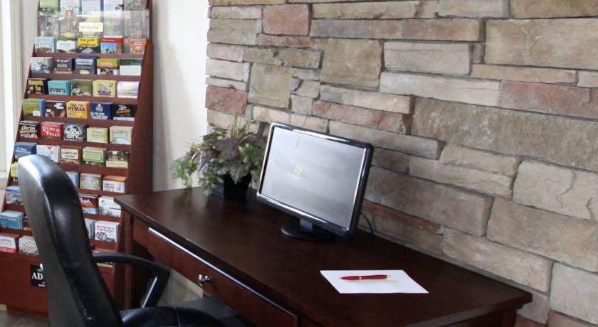
| Интернет: | Бесплатно! Wi-Fi предоставляется на территории всего отеля бесплатно. |
| Языки общения: | |
| Время заезда/выезда: | C 14:00 / До 11:00 |
| Домашние животные: | Размещение домашних животных допускается по предварительному запросу. Данная услуга может быть платной. |
| Банковские карты: | |
| Номерной фонд: | Мотель: 56 номеров , Сеть отелей: Red Roof Inn. |
| Координаты: | ш. 36.94143192234608 д. -86.42023399472237 на карте |
| | |
Каталог отелей.
Полезное
Смотреть что такое "Red Roof Inn Bowling Green" в других словарях:
Pub names — The sign of the Saracen s Head in Broad Street, Bath, England … Wikipedia
Glasgow — GLASGOW, a city, the seat of a university, and a sea port, having separate jurisdiction, locally in the Lower ward of the county of Lanark, and situated in longitude 4° 15 51 (W.), and latitude 55° 52 10 (N.), 23 miles (E. by S.) from Greenock … A Topographical dictionary of Scotland
Chiswick House — Chiswick House … Wikipedia
Stalybridge — Coordinates: 53°29′00″N 2°02′24″W / 53.4834°N 2.0400°W / 53.4834; 2.0400 … Wikipedia
Theatre Royal, Drury Lane — Coordinates: 51°30′46″N 0°07′14″W … Wikipedia
Wetherby — infobox UK place country = England latitude= 53.9276 longitude= 1.3839 map type= Leeds official name= Wetherby population = 10,562 (immediate town area), 22000 (Wetherby Ward) metropolitan borough= City of Leeds metropolitan county= West… … Wikipedia
Chatsworth House — across the River Derwent, with the Hunting Tower visible above Chatsworth House is a stately home in North Derbyshire, England, 3.5 miles (5.6 km) northeast of Bakewell and 9 miles (14 km) west of Chesterfield (GB Grid SK260700). It is… … Wikipedia
Dronfield — Coordinates: 53°18′09″N 1°27′59″W / 53.3024°N 1.4664°W / 53.3024; 1.4664 … Wikipedia
Timeline of Birmingham history — This article is intended to show a timeline of events in the History of Birmingham, England, with a particular focus on the events, people or places that are covered in Wikipedia articles.Pre Norman invasion* 1200 BC: Radiocarbon date of charcoal … Wikipedia
Chippenham — For other uses, see Chippenham (disambiguation). Coordinates: 51°27′31″N 2°06′57″W / 51.4585°N 2.1158°W / 51.4585; 2.1158 … Wikipedia